ESRI World Imagery base layer
The ESA Charter Mapper provides access to the ESRI World Imagery base layer.
Description
The ESRI World Imagery provides one meter or better satellite and aerial imagery in many parts of the world and lower resolution satellite imagery worldwide. The map includes 15m TerraColor imagery at small and mid-scales (~1:591M down to ~1:288k) for the world.
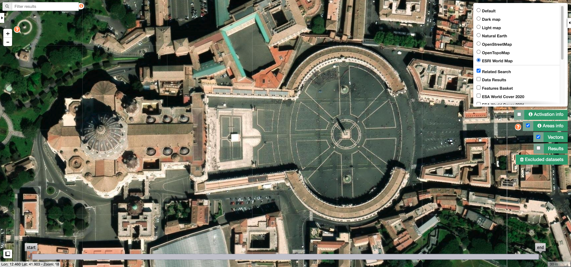
The map features Maxar imagery at 0.3m resolution for select metropolitan areas around the world, 0.5m resolution across the United States and parts of Western Europe, and 1m resolution imagery across the rest of the world. In addition to commercial sources, the World Imagery map features high-resolution aerial photography contributed by the GIS User Community. This imagery ranges from 0.3m to 0.03m resolution (down to ~1:280 in select communities). Find here more information on this map, including the terms of use.
Usage
This base map can be used for visualization purposes in the ESA Charter Mapper map and it can also be employed as base layer in the Map Composition functionality.
Copyright
When using in the map composition the VAP shall include the following copyright text:
ESRI World Imagery Basemap - Source: Esri, Maxar, Earthstar Geographics, and the GIS User Community
Terms and conditions
Charter Members and Contributors that may be creating their own Value Added Products using the ESRI basemaps shall adhere to the terms and conditions found online at www.esri.com.