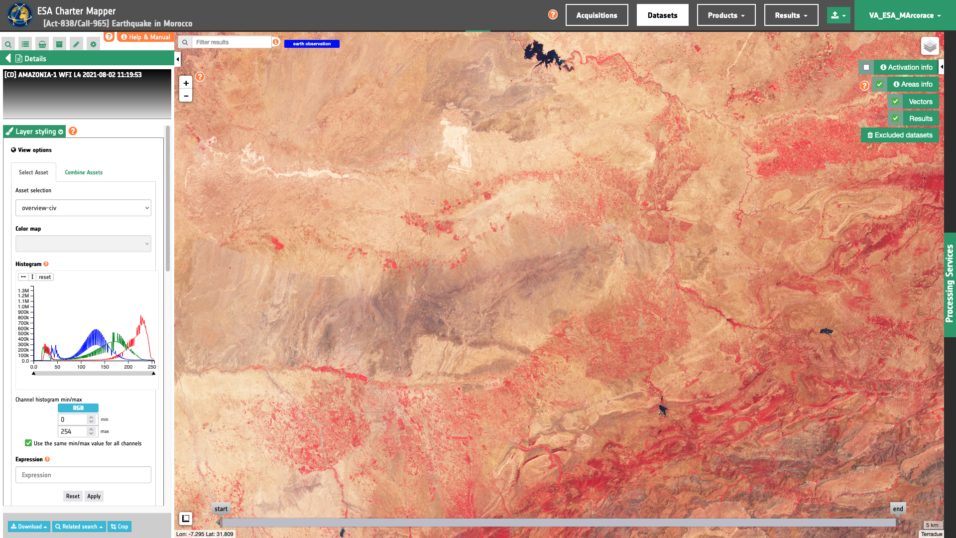
Amazonia-1
Amazonia-1 multispectral EO data products are calibrated using the Optical Products Calibration (OPT-Calib) service.
Input
The input is an ingested Amazonia-11 dataset. Find details here.
DN to Reflectance
Amazonia-1 TOA radiance for a band b is derived from DN values using the formula below2:
where :
-
\(L_{(b)}\) is the TOA radiance for a Amazonia-1 band b.
-
\(DN_{(b)}\) is the digital number for a band b. The digital number DN=0 represents the “NO_DATA” value.
-
\(abscalibcoeff_{(b)}\) is the scaling factor for the band b. This value is extracted from the
ABSOLUTE_CALIBRATION_COEFFICIENTfield in the product annotation.
Radiance to Reflectance
To convert TOA radiance to TOA reflectance, the following formula is used :
where :
-
\(L(b)\) is the spectral radiance for band b
-
\(pi\) is the famous mathematical constant
-
\(d\) is the earth-sun distance (in astronomical units) and depends on the acquisition’s day and month
-
\(ESUN(b)\) is the mean TOA solar irradiance (or solar illumination) in \(W/m^2/micrometers\)
-
\(θ\) is the solar zenith angle in degrees.
The conversion from elevation angle to solar zenith angle \(θ\) (in degrees) is:
The values for the \(ESUN(b)\) for Amazonia-1 are provided in Table 1:
| Common band name (BAND name) | λ(nm) | Thuillier 2003 |
|---|---|---|
| blue (BAND13) | 450-520 | 1984.65 |
| green (BAND14) | 520-590 | 1823.40 |
| red (BAND15) | 630-690 | 1536.38 |
| nir (BAND16) | 770-890 | 981.91 |
Output
The output is a STAC item GeoJSON3 including single band and overview assets in COG format. Below is an example of assets included in the STAC item of a Amazonia-1 WFI L2 compose calibrated dataset.
  "assets": {
    "blue": {
      "type": "image/tiff; application=geotiff; profile=cloud-optimized",
      "roles": [
        "data",
        "reflectance",
        "visual"
      ],
      "href": "https://.../urn_ogc_def_EOP_INPE_AMAZONIA_1_WFI_20210802_029_010_L4_compose-calibrated/blue.tif",
      "eo:bands": [
        {
          "name": "blue",
          "common_name": "blue",
          "center_wavelength": 0.485,
          "solar_illumination": 1984.65
        }
      ],
      "raster:bands": [
        {
          "spatial_resolution": 64
          }
    },
    "green": {
      "type": "image/tiff; application=geotiff; profile=cloud-optimized",
      "roles": [
        "data",
        "reflectance",
        "visual"
      ],
      "href": "https://.../urn_ogc_def_EOP_INPE_AMAZONIA_1_WFI_20210802_029_010_L4_compose-calibrated/green.tif",
      "eo:bands": [
        {
          "name": "BAND14",
          "common_name": "green",
          "center_wavelength": 0.555,
          "solar_illumination": 1823.40
        }
      ],
      "raster:bands": [
        {
          "spatial_resolution": 64
          }
    },
    "red": {
      "type": "image/tiff; application=geotiff; profile=cloud-optimized",
      "roles": [
        "data",
        "reflectance",
        "visual"
      ],
      "href": "https://.../urn_ogc_def_EOP_INPE_AMAZONIA_1_WFI_20210802_029_010_L4_compose-calibrated/red.tif",
      "eo:bands": [
        {
          "name": "BAND15",
          "common_name": "red",
          "center_wavelength": 0.66,
          "solar_illumination": 1536.38
        }
      ],
      "raster:bands": [
        {
          "spatial_resolution": 64
          }
    },
    "nir": {
      "type": "image/tiff; application=geotiff; profile=cloud-optimized",
      "roles": [
        "data",
        "reflectance",
        "visual"
      ],
      "href": "https://.../urn_ogc_def_EOP_INPE_AMAZONIA_1_WFI_20210802_029_010_L4_compose-calibrated/nir.tif",
      "eo:bands": [
        {
          "name": "BAND16",
          "common_name": "nir",
          "center_wavelength": 0.83,
          "solar_illumination": 981.91
        }
      ],
      "raster:bands": [
        {
          "spatial_resolution": 64
          }
    },
    "overview-trc": {
      "type": "image/tiff; application=geotiff; profile=cloud-optimized",
      "roles": [
        "composite",
        "reflectance",
        "visual"
      ],
      "href": "https://.../urn_ogc_def_EOP_INPE_AMAZONIA_1_WFI_20210802_029_010_L4_compose-calibrated/overview-trc.tif"
    },
    "overview-civ": {
      "type": "image/tiff; application=geotiff; profile=cloud-optimized",
      "roles": [
        "composite",
        "reflectance",
        "visual"
      ],
      "href": "https://.../urn_ogc_def_EOP_INPE_AMAZONIA_1_WFI_20210802_029_010_L4_compose-calibrated/overview-civ.tif"
    },
    "overview-trc-low-res": {
      "type": "image/tiff; application=geotiff; profile=cloud-optimized",
      "roles": [
        "composite",
        "overview",
        "reflectance"
      ],
      "href": "https://.../urn_ogc_def_EOP_INPE_AMAZONIA_1_WFI_20210802_029_010_L4_compose-calibrated/overview-trc-low-res.tif"
    }
  }
-
INPE, Amazonia-1, About the satellite, accesible at www.inpe.br/. ↩
-
Pinto C., Ponzoni F., Castro R., Leigh L., Mishra N., Aaron D., Helder D. (2016), "First in-Flight Radiometric Calibration of MUX and WFI on-Board CBERS-4", Remote Sens. 2016, 8, 405. DOI:/10.3390/rs8050405. ↩
-
Radiant Earth Foundation, STAC item specifications, a single spatiotemporal asset as a GeoJSON feature plus datetime and links, available at:https://github.com ↩