Landsat-9
Mission and sensor parameters
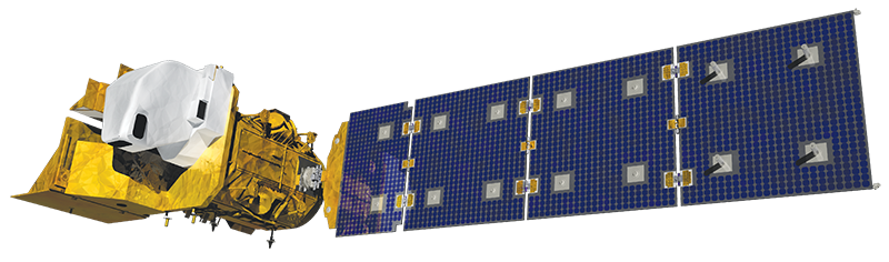
Launched in 2021, Landsat-9 is an operational earth imaging satellite which is part of joint USGS and NASA-led Landsat programme. It represents the second flight unit of the Landsat Data Continuity Mission (LDCM) programme. Landsat-9 payload consists of two Earth observing sensors: the Operational Land Imager (OLI) and the Thermal Infra-Red Scanner (TIRS) instruments.
Mission parameters
Table 1 provides a summary of the Landsat-9 mission.
| Parameter | Specifications |
|---|---|
| EO Mission | Landsat-9 |
| Charter Owner Agency | USGS |
| Providing Agency | NASA, USGS |
| Date of launch | 2021-09-27 |
| Temporal coverage | 2021-10-31 - present |
| Mission status | Operational |
| Mission Life Expected | >10 years |
| Orbit Type | Sun-synchronous |
| Equator crossing Time | 10:00 AM descending node |
| Orbit Height | 705 km |
| Orbit Period | 98 min |
| Revisit Frequency | 2.6 days at 30° off-nadir |
| Nominal Swath Width | 15.3 km at nadir |
Table 1 - Landsat-9 mission parameters.
Sensor specifications
Below specifications of the Operational Land Imager (OLI) and the Landsat Thermal Infra-Red Sensor (TIRS) optical earth observation sensors on board the Landsat-9 platform.
| Parameter | Specifications |
|---|---|
| Imager Type | Pushbroom sensor with a four-mirror telescope (OLI) and a thermal imager operating in pushbroom mode TIRS |
| Imaging Mode | PAN and MS (VIS, NIR) |
| Pan spectral range | 503 - 676 nm |
| Coastal spectral range | 435 - 451 nm |
| Blue spectral range | 452 - 512 nm |
| Green spectral range | 533 - 590 nm |
| Red spectral range | 636 - 673 nm |
| NIR spectral range | 851 - 879 nm |
| Cirrus spectral range | 1363 - 1384 nm |
| SWIR-1 spectral range | 1566 - 1651 nm |
| SWIR-2 spectral range | 2107 - 2294 nm |
| TIR-1 spectral range | 10600 - 11190 nm |
| TIR-2 spectral range | 11500 - 12510 nm |
| Resolution | Medium Resolution - 0-MR (4 - 25m) |
| GSD | 15 m (PAN), 30m (MS, NIR, SWIR), 100m (TIR) |
| Dynamic Range | 12-bit scaled to 16-bit integers |
Table 2 - Landsat-9 OLI and TIRS sensors parameters.
Ingested format
Information extracted from product annotation included in the STAC item of a Landsat-9 dataset have a similar structure to the Landsat-8 one available here.
Product Calibration
For Landsat-9 products calibration refer to the Optical Products Calibration (OPT-Calib) service and the calibration sheet available here.