Quick View Image production
Quick View functionality
The QuickView functionality offers to users the possibility to crop a rendered tile layer shown in the map and export it as an image. This is particularly useful to generate a quick visual product to be shared with other colleagues. The crop and export is applied to the tile layer shown in the map at the current zoom level by TiTiler and is not applied to the source product.
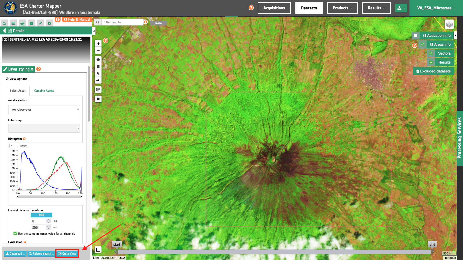
This functionality can be applied when the user want to derive a QuickView product from a single feature (either a single band or an overview asset) from a Dataset or a Result from a processing service. The functionality allows also allow the user to export images when comparing two layers with the slider.
The typical workflow to be applied when using the QuickView functionality is the following:
-
select one or two features from the left panel (it can be a feature of a Calibrated Dataset or the one of a Result from a processing service),
-
apply image stretching,
-
apply color formula,
-
previewing the rendered tile layer/s on the map,
-
crop and resample the tile layer/s to a fixed number of rows and columns,
-
and export it / them as a 8-bit raster file in PNG or GeoTIFF formats.
More information about the QuickView functionality can be found in this section of the user manual.
Warning
The spatial resolution of the exported image depends on the specific zoom level applied to the layer shown in the map by TiTiler. With the QuickView functionality, the user can export an image with the level of details as the one shown in the screen. As an example, after you zoom to the full extent of the image in the map, the resolution of the exported QuickView image will be at very low resolution. To get a product having a resolution closer to the full resolution the user shall first zoom in to a portion of the image.
QuickView functionality for PM and VA users
Quickview functionality offers to PM and VA users the possibility to crop the rendered tile layer shown in the map and export it as a raster file in PNG or GeoTIFF formats.
QuickView functionality for QIP users
The Quickview Image Producer (QIP) user has access to a more advanced Quickview functionality. After the generation of one or two quickview images, from the QuickView panel the QIP user can also send a notification to COS-2 and generate a QuickView Image Product.
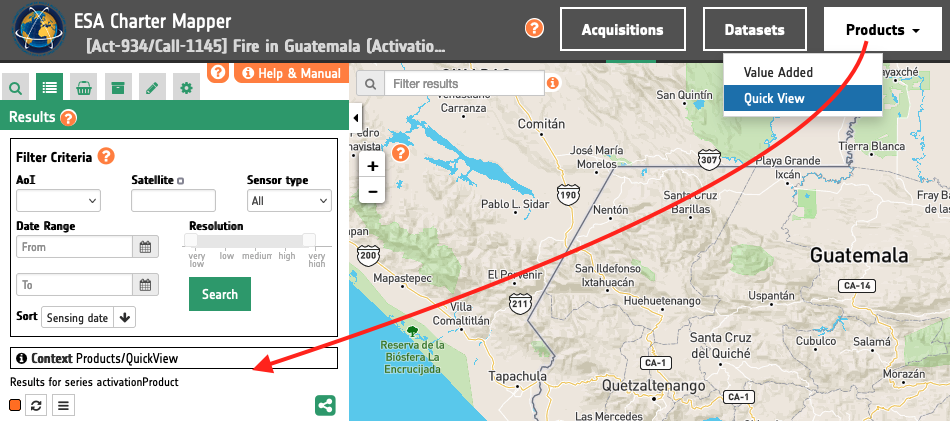
After the publishing of the product, the feature can be also seen in the map by selecting it from the Products data context under QuickView products.