Landsat-9
Landsat-9 panchromatic and multispectral EO data products are calibrated using the Optical Products Calibration (OPT-Calib) service. The process applied is the same for PAN and MS acquisitions.
Input
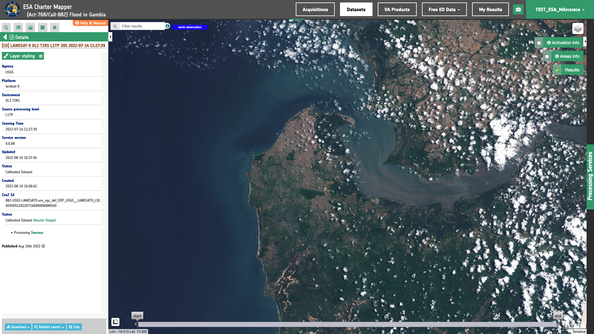
The input is an ingested Landsat-9, find details here.
DN to Reflectance
Reflective band DN’s are converted to TOA reflectance using the rescaling coefficients in the MTL file1:
where:
\(R(b)'\) is the Top of Atmosphere planetary reflectance, without correction for solar angle.
Note that \(R(b)'\) does not contain a correction for the sun angle.
-
\(M_b\) is the band-specific multiplicative rescaling factor from the metadata (REFLECTANCE_MULT_BAND_x, where x is the band number)
-
\(A_b\) is the band-specific additive rescaling factor from the metadata (REFLECTANCE_ADD_BAND_x, where x is the band number)
Top of Atmosphere reflectance with a correction for the sun angle is then:
where:
-
\(R(b)\) is the TOA planetary reflectance
-
\(θ_{SE}\) is the local sun elevation angle. The scene center sun elevation angle in degrees is provided in the metadata (SUN_ELEVATION).
-
\(θ_{SZ}\) is the local solar zenith angle; \(θ_{SZ} = 90° - θ_{SE}\)
Output
The output is a STAC item GeoJSON2 having a similar structure to the Landsat-8 one available here.
-
USGS, Using the USGS Landsat Level-1 Data Product, available at: https://www.usgs.gov. ↩
-
Radiant Earth Foundation, STAC item specifications, a single spatiotemporal asset as a GeoJSON feature plus datetime and links, available at:https://github.com. ↩