KOMPSAT-5 L1 calibration
Ingested KOMPSAT-5 L1D products are systematically calibrated in the ESA Charter Mapper using the Radar Products Calibration (SAR-Calib) processor.
Input
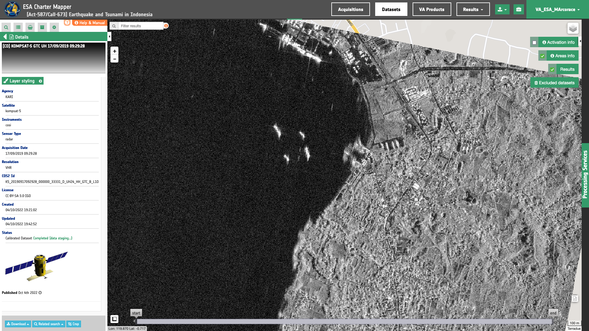
The input is a KOMPSAT-5 GTC Dataset derived from an ingested KOMPSAT-5 Level-1D product, see details here.
Workflow
The workflow for the systematic generation of Radar Calibrated Datasets from KOMPSAT-5 GTC L1D products is described in the below graph.
This diagram represents the application of the SAR-Calib processor workflow applied for KOMPSAT-5 L1D Datasets. More details about this systematic processor can be found here.
Warning
The calibration of KOMPSAT-5 L1D GTC products in Wide Swath or Enhanced Wide Swath mode is not currently supported.
Radiometric calibration
The Radiometric Calibration step of the workflow applies the sigma nought equation for KOMPSAT-5 L1D products1. Sigma nought in logarithmic scale (dB) can be derived from KOMPSAT-5 GTC L1D products using the following expression:
where \(DN\) is the Digital Number and \(K\) is the calibration factor which is derived with the following equation:
in which:
-
\(RF\) is the Rescaling Factor, derived from product metadata file under
RescalingFactor, -
\(CALCO\) is the Calibration Constant, included in the metadata at
CalibrationConstant, -
and \(cellsize\) is obtained by multiplying the values of
ColumnSpacingandLineSpacingavailable in the product annotation.
Multilooking
Details about the Multilooking step can be found here.
Overview creation
For Image stretching and RGB composite creation step refer to sections about signal dynamic ranges for stretching sigma nought and overview creation sections.
Output
The output is a KOMPSAT-5 GTC Calibrated Dataset represented by a STAC item GeoJSON2 including:
-
single-band assets for backscatter at each polarization,
-
and multi-band assets for visual products (single-pol overviews and dual- or full-pol band composites).
All assets are given at full resolution and in COG format.
Backscatter products are Float32 single-band assets in COG format, one for each polarization (e.g. s0_db_x_vv which refers to the common band name for sigma nought in dB from X-band SAR in VV polarization).
Visual products are given as 8-bit multi-band assets in COG format (e.g. overview-vv which refers to speckle filtered visual product at full resolution derived from sigma nought in dB from X-band SAR in VV polarization). A default overview product at low resolution is also derived for product preview when EULA is not signed by the user.
As an example, below is reported an extraction of the STAC item for a Calibrated Dataset from KOMPSAT-5 L1D GTC SM in VV polarization acquired in the Charter Activation 787.
    "assets": {
    "s0_db_x_vv": {
      "type": "image/tiff; application=geotiff",
      "roles": [
        "data",
        "sigma0",
        "visual"
      ],
      "href": "https://.../K5_20221009231907_000010_50150_A_ST08_VV_GTC_B_L1D_Aux_xml-calibrated/s0_db_x_vv.tif",
      "sar:polarizations": [
        "VV"
      ],
      "raster:bands": [
        {
          "spatial_resolution": 3.3333333333333335,
          "statistics": {
            "minimum": "-48.060546875",
            "maximum": "0.15378950536251",
            "mean": "-9.7672014822465",
            "stddev": "7.1935299999715",
            "valid_percent": "70.45"
          },
          "histogram": {
            "count": 256,
            "min": -48.155086517333984,
            "max": 0.24832741916179657
        }
      "file:size": 396903957
    },
    "overview-vv": {
      "type": "image/tiff; application=geotiff",
      "roles": [
        "composite",
        "sigma0",
        "visual"
      ],
      "href": "https://.../K5_20221009231907_000010_50150_A_ST08_VV_GTC_B_L1D_Aux_xml-calibrated/overview-vv.tif",
      "sar:polarizations": [
        "VV"
      ],
      "raster:bands": [
        {
          "spatial_resolution": 3.333333333333333,
          "statistics": {
            "minimum": "1",
            "maximum": "234",
            "mean": "146.52680880641",
            "stddev": "51.624258414892",
            "valid_percent": "70.45"
          },
          "histogram": {
            "count": 256,
            "min": 0.5431372549019609,
            "max": 234.45686274509805
          }
        },
        {
          "spatial_resolution": 3.333333333333333,
          "statistics": {
            "minimum": "255",
            "maximum": "255",
            "mean": "255",
            "stddev": "0",
            "valid_percent": "70.45"
          },
          "histogram": {
            "count": 256,
            "min": 254.5,
            "max": 255.5
          }
        }
      ],
      "file:size": 95616809
    },
    "overview-vv-low-res": {
      "type": "image/tiff; application=geotiff",
      "roles": [
        "composite",
        "overview"
      ],
      "href": "https://.../K5_20221009231907_000010_50150_A_ST08_VV_GTC_B_L1D_Aux_xml-calibrated/overview-vv-low-res.tif",
      "s_expressions": "",
      "raster:bands": [
        {
          "spatial_resolution": 16.666666666666664,
          "statistics": {
            "minimum": "0",
            "maximum": "233",
            "mean": "103.22112050398",
            "stddev": "79.679079286019",
            "valid_percent": "100"
          },
          "histogram": {
            "count": 256,
            "min": -0.4568627450980392,
            "max": 233.45686274509805
          }
        },
        {
          "spatial_resolution": 16.666666666666664,
          "statistics": {
            "minimum": "0",
            "maximum": "255",
            "mean": "179.60778473312",
            "stddev": "116.36592615627",
            "valid_percent": "100"
          },
          "histogram": {
            "count": 256,
            "min": -0.5,
            "max": 255.5,
          }
        }
      ],
      "file:size": 9531342
    }
  }
}
-
SI Imaging Services, Kompsat-5 Sigma Naught Equation, available at: www.si-imaging.com. ↩
-
Radiant Earth Foundation, STAC item specifications, a single spatiotemporal asset as a GeoJSON feature plus datetime and links, available at:https://github.com. ↩