Pléiades NEO
Pléiades NEO multispectral EO data products are calibrated using the Optical Products Calibration (OPT-Calib) service.
Input
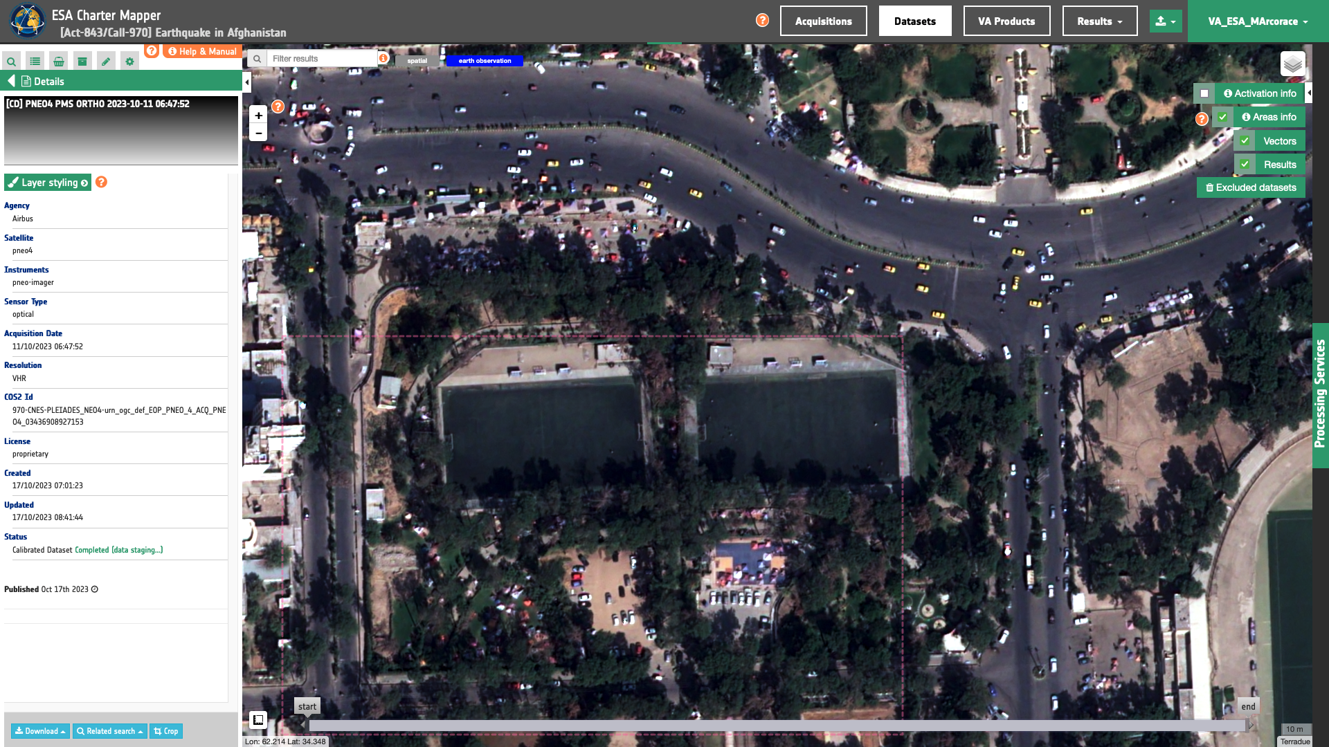
The input is an ingested Pléiades NEO dataset. Find details here.
DN to Radiance
The Pléiades NEO user guide1 provides the formula below to convert the DN into radiance:
For the conversion from \(DN\) (for Digital Numbers) to spectral radiance (or ‘TOA radiance’) \(L \), the following formula is used :
As such, the calibration uses:
and
\(L \) in \(W/m^2/steradians/micrometers\) with \(b\) being a band ID.
Radiance to Reflectance
To convert TOA radiance to TOA reflectance, the following formula is used :
where :
-
\(L(b)\) is the spectral radiance for band b
-
\(pi\) is the famous mathematical constant
-
\(d\) is the earth-sun distance (in astronomical units) and depends on the acquisition’s day and month
-
\(ESUN(b)\) is the mean TOA solar irradiance (or solar illumination) in \(W/m^2/micrometers\)
-
\(θ\) is the solar zenith angle in degrees.
The values for the \(ESUN(b)\) are provided in acquisition metadata.
Output
The output is a STAC item GeoJSON[^6] including single band and overview assets in COG format. Below is given an example of assets included in the STAC item of a Pléiades NEO ORT PAN MS-FS calibrated dataset.
  "assets": {
    "coastal": {
      "type": "image/tiff; application=geotiff; profile=cloud-optimized",
      "roles": [
        "data",
        "reflectance",
        "visual"
      ],
      "href": "https://.../PNEO4_202111151358313_PAN_MS-FS_ORTHO_000071864_1_1_A_STD-calibrated/coastal.tif",
      "eo:bands": [
        {
          "name": "coastal",
          "description": "Raw radiometric count (DN) to TOA Radiance (L). Formulae L=DN/GAIN+BIAS",
          "common_name": "coastal",
          "solar_illumination": 1797.1
        }
      ],
      "raster:bands": [
        {
          "spatial_resolution": 0.3,
          },
    },
    "blue": {
      "type": "image/tiff; application=geotiff; profile=cloud-optimized",
      "roles": [
        "data",
        "reflectance",
        "visual"
      ],
      "href": "https://.../PNEO4_202111151358313_PAN_MS-FS_ORTHO_000071864_1_1_A_STD-calibrated/blue.tif",
      "eo:bands": [
        {
          "name": "blue",
          "description": "Raw radiometric count (DN) to TOA Radiance (L). Formulae L=DN/GAIN+BIAS",
          "common_name": "blue",
          "solar_illumination": 1972
        }
      ],
      "raster:bands": [
        {
          "spatial_resolution": 0.3
          }
    },
    "green": {
      "type": "image/tiff; application=geotiff; profile=cloud-optimized",
      "roles": [
        "data",
        "reflectance",
        "visual"
      ],
      "href": "https://.../PNEO4_202111151358313_PAN_MS-FS_ORTHO_000071864_1_1_A_STD-calibrated/green.tif",
      "eo:bands": [
        {
          "name": "green",
          "description": "Raw radiometric count (DN) to TOA Radiance (L). Formulae L=DN/GAIN+BIAS",
          "common_name": "green",
          "solar_illumination": 1815.4
        }
      ],
      "raster:bands": [
        {
          "spatial_resolution": 0.3,
          },
    },
    "red": {
      "type": "image/tiff; application=geotiff; profile=cloud-optimized",
      "roles": [
        "data",
        "reflectance",
        "visual"
      ],
      "href": "https://.../PNEO4_202111151358313_PAN_MS-FS_ORTHO_000071864_1_1_A_STD-calibrated/red.tif",
      "eo:bands": [
        {
          "name": "red",
          "description": "Raw radiometric count (DN) to TOA Radiance (L). Formulae L=DN/GAIN+BIAS",
          "common_name": "red",
          "solar_illumination": 1551.7
        }
      ],
      "raster:bands": [
        {
          "spatial_resolution": 0.3,
          },
    },
    "rededge": {
      "type": "image/tiff; application=geotiff; profile=cloud-optimized",
      "roles": [
        "data",
        "reflectance",
        "visual"
      ],
      "href": "https://.../PNEO4_202111151358313_PAN_MS-FS_ORTHO_000071864_1_1_A_STD-calibrated/rededge.tif",
      "eo:bands": [
        {
          "name": "rededge",
          "description": "Raw radiometric count (DN) to TOA Radiance (L). Formulae L=DN/GAIN+BIAS",
          "common_name": "rededge",
          "solar_illumination": 1349
        }
      ],
      "raster:bands": [
        {
          "spatial_resolution": 0.3,
          },
    },
    "nir": {
      "type": "image/tiff; application=geotiff; profile=cloud-optimized",
      "roles": [
        "data",
        "reflectance",
        "visual"
      ],
      "href": "https://.../PNEO4_202111151358313_PAN_MS-FS_ORTHO_000071864_1_1_A_STD-calibrated/nir.tif",
      "eo:bands": [
        {
          "name": "nir",
          "description": "Raw radiometric count (DN) to TOA Radiance (L). Formulae L=DN/GAIN+BIAS",
          "common_name": "nir",
          "solar_illumination": 1060.1
        }
      ],
      "raster:bands": [
        {
          "spatial_resolution": 0.5,
          },
    },
    "overview-trc": {
      "type": "image/tiff; application=geotiff; profile=cloud-optimized",
      "roles": [
        "composite",
        "reflectance",
        "visual"
      ],
      "href": "https://.../PNEO4_202111151358313_PAN_MS-FS_ORTHO_000071864_1_1_A_STD-calibrated/overview-trc.tif"
    },
    "overview-civ": {
      "type": "image/tiff; application=geotiff; profile=cloud-optimized",
      "roles": [
        "composite",
        "reflectance",
        "visual"
      ],
      "href": "https://.../PNEO4_202111151358313_PAN_MS-FS_ORTHO_000071864_1_1_A_STD-calibrated/overview-civ.tif"
    },
    "overview-trc-low-res": {
      "type": "image/tiff; application=geotiff; profile=cloud-optimized",
      "roles": [
        "composite",
        "overview",
        "reflectance"
      ],
      "href": "https://.../PNEO4_202111151358313_PAN_MS-FS_ORTHO_000071864_1_1_A_STD-calibrated/overview-trc-low-res.tif"
    }
  }
-
Airbus Defence and Space, Pléiades NEO User Guide, available at https://www.intelligence-airbusds.com ↩