CBERS-4
Mission description
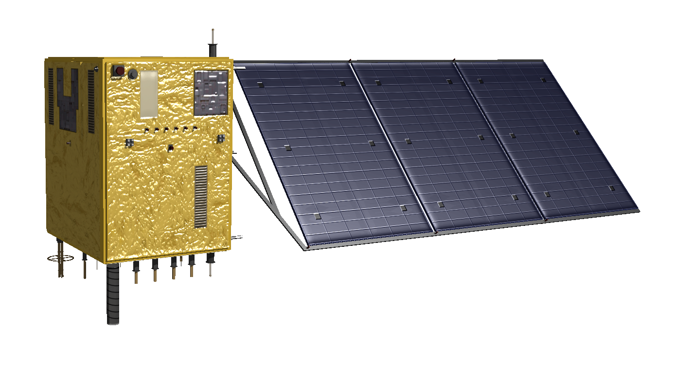
The CBERS-4 satellite is part of the China-Brazil Earth-Resources Satellite (CBERS) mission and is equipped with different cameras: Câmera Pancromática e Multiespectral (PAN), Câmera Multiespectral Regular (MUX), Imageador Multiespectral e Termal (IRS), and Câmera de Campo Largo (WFI). This second generation of the CBERS satellites include two similar medium resolution satellites: CBERS-4 and CBERS-4A.
The CBERS-4 PAN sensor is able to acquire images with different GSD, 5 meter for panchromatic (PAN5M) and 10 meter for multispectral green, red, and NIR bands (PAN10M). The MUX multispectral camera, on board of CBERS-4 satellite, provides wide-swath (120 km) images at 20 meter GSD under Blue, Red, Green and NIR channels. The WFI camera provides extra wide-swath (866 km) images at 64 meter spatial resolution under Blue, Red, Green and NIR channels1,2.
Table 1 provides a summary of the CBERS-4 mission.
| Parameter | Specifications |
|---|---|
| EO Mission | China-Brazil Earth Resources Satellite 4 |
| Mission Short name | CBERS-4 |
| Charter Owner Agency | INPE |
| Providing Agency | INPE, AEB, CAST |
| Date of launch | 07/12/2014 |
| Temporal coverage | 03/2015 - present |
| Mission status | onGoing |
| Mission Life Expected | >10 years |
| Orbit Type | Sun-synchronous |
| Equator crossing Time | 10:30 AM asc |
| Orbit Height | 778 km |
| Orbit Period | 100.3 minutes |
| Inclination | 98.5 deg |
| Repeat Cycle | 26 days |
Table 1 - CBERS-4 mission parameters.
Instruments
Table 2 describes the EO sensors on board of CBERS-4 satellite, spectral modes and combinations.
| Acronym | Specifications |
|---|---|
| PAN | Panchromatic and Multispectral imager (PanMUX) |
| MUX | Multispectral Camera |
| AWFI | Advanced Wide Field Imager |
| IRS | InfraRed medium-resolution Scanner |
Table 2 - CBERS-4 earth observation sensors.
Table 3 describes the spectral combinations of the CBERS-4 products often received in the Charter.
| Instrument | Spectral mode | Spectral combinations |
|---|---|---|
| PAN | PAN5M | Panchromatic single band: BAND1 (PAN) |
| PAN | PAN10M | Multispectral 3 bands: BAND2 (Green), BAND3 (Red), and BAND4 (NIR) |
| MUX | MUX | Multispectral 4 bands: BAND5 (Blue), BAND6 (Green), BAND7 (Red), and BAND8 (NIR) |
| AWFI | AWFI | Multispectral 4 bands: BAND13 (Blue), BAND14 (Green), BAND15 (Red), and BAND16 (NIR) |
Table 3 - Spectral combinations for most recurrent CBERS-4 products in the charter.
Spectral modes and bands
PAN
Table 4 reports technical specifications of the CBERS-4 PAN instrument.
| Parameter | Specifications |
|---|---|
| Instrument | PanMUX (PAN) |
| Imager Type | Panchromatic and Multispectral imager |
| Spectral mode | PAN5M, PAN10M |
| Scanning technique | Pushbroom |
| Resolution | Medium Resolution - O-MR (4 - 25m) |
| GSD | 5 m (PAN5M), 10 m (PAN10M) |
| Swath width | 60 km |
| Coverage | Global |
| Revisit time | 52 days |
| Data type | L2 or L4 |
| Dynamic range at acquisition | 12 bit per pixel |
Table 4 - CBERS-4 PANMux instrument technical specifications.
Wavelength, Center wavelength, Bandwidth (or FWHM), and common band name (CBN) for each spectral band of the CBERS-4 PanMUX sensor in PAN5M mode are described in table 5.
| Spectral Band (ID) | Spectral interval (nm) | Center Wavelength(µm) | Bandwidth or FWHM (µm) | CBN |
|---|---|---|---|---|
| BAND1 (PAN) | 510-890 | 0.700 | 0.38 | pan |
Table 5 - Spectral bands for a CBERS-4 PANMux product in PAN5M mode.
Wavelength, Center wavelength, Bandwidth (or FWHM), and common band name (CBN) for each spectral band of the CBERS-4 PanMUX sensor in PAN10M mode are described in table 6.
| Spectral Band (ID) | Spectral interval (nm) | Center Wavelength(µm) | Bandwidth or FWHM (µm) | CBN |
|---|---|---|---|---|
| BAND2 (Green) | 520-590 | 0.555 | 0.07 | green |
| BAND3 (Red) | 630-690 | 0.660 | 0.06 | red |
| BAND4 (NIR) | 770-890 | 0.830 | 0.12 | nir |
Table 6 - Spectral bands for a CBERS-4 PANMux product in PAN10M mode.
MUX
Table 7 reports technical specifications of the CBERS-4 MUX instrument.
| Parameter | Specifications |
|---|---|
| Instrument | MUXCam (MUX) |
| Imager Type | Multispectral camera |
| Spectral mode | MUX |
| Scanning technique | Pushbroom |
| Resolution | Medium Resolution - O-MR (4 - 25m) |
| GSD | 20 m |
| Swath width | 120 km |
| Coverage | Global |
| Cycle | 26 days |
| Data type | L2 or L4 |
| Dynamic range at acquisition | 12 bit per pixel |
Table 7 - CBERS-4 MUXCam instrument technical specifications.
Wavelength, Center wavelength, Bandwidth (or FWHM), and common band name (CBN) for each spectral band of the CBERS-4 MUXCam sensor are described in table 8.
| Spectral Band (ID) | Spectral interval (nm) | Center Wavelength(µm) | Bandwidth or FWHM (µm) | CBN |
|---|---|---|---|---|
| BAND5 (Blue) | 450-520 | 0.485 | 0.07 | blue |
| BAND6 (Green) | 520-590 | 0.555 | 0.07 | green |
| BAND7 (Red) | 630-690 | 0.660 | 0.06 | red |
| BAND8 (NIR) | 770-890 | 0.830 | 0.12 | nir |
Table 8 - Spectral bands for a CBERS-4 MUXCam product.
AWFI
Table 9 reports technical specifications for the CBERS-4 AWFI instrument.
| Parameter | Specifications |
|---|---|
| Instrument | AWFI |
| Imager Type | Advanced Wide Field Imager Camera |
| Spectral mode | AWFI |
| Scanning technique | Pushbroom |
| Resolution | Very Low Resolution - O-VLR (> 60m) |
| GSD | 64 m (nadir) |
| Swath | 866 km |
| Coverage | Global |
| Revisit time | 5 days |
| Data type | L2 or L4 |
| Dynamic range at acquisition | 12 bit per pixel |
Table 9 - CBERS-4 AWFI instrument technical specifications.
Wavelength, Center wavelength, Bandwidth (or FWHM), and common band name (CBN) for each spectral band of the CBERS-4 AWFI sensor are described in table 10.
| Spectral Band (ID) | Spectral interval (nm) | Center Wavelength(µm) | Bandwidth or FWHM (µm) | CBN |
|---|---|---|---|---|
| BAND13 (Blue) | 450-520 | 0.485 | 0.07 | blue |
| BAND14 (Green) | 520-590 | 0.555 | 0.07 | green |
| BAND15 (Red) | 630-690 | 0.660 | 0.06 | red |
| BAND16 (NIR) | 770-890 | 0.830 | 0.12 | nir |
Table 10 - Spectral bands for a CBERS-4 AWFI product.
For more information see the CBERS-4 website.
Geometric and radiometric processing
Processing levels of CBERS-4 are:
-
L2 system corrected image, expect some translation error,
-
L4 orthorectified with ground control points.
Imagery and metadata formats
CBERS-4 imagery format is GeoTIFF. Annotation is delivered by COS-2 in CSV format.
Ingested format
Information extracted from product annotation included in the STAC item of a CBERS-4 AWFI L4 4-band multispectral BAND16151413 dataset are listed below.
Properties
STAC item content about properties for a CBERS-4 AWFI L4 4-band multispectral BAND16151413 Dataset is the following:
  "properties": {
    "datetime": "2022-07-31T10:12:38Z",
    "created": "2022-07-31T10:12:38Z",
    "platform": "cbers-4",
    "constellation": "cbers-4",
    "mission": "cbers-4",
    "instruments": [
      "AWFI"
    ],
    "spectral_mode": [
      "AWFI"
    ],
    "sensor_type": "optical",
    "gsd": 64,
    "title": "CBERS-4 AWFI L4 2022-07-31 10:12:38",
    "cbers:path": 111,
    "cbers:row": 63,
    "providers": [
      {
        "name": "INPE",
        "description": "China–Brazil Earth Resources Satellite 4 (CBERS-4), also known as Ziyuan I-04 or Ziyuan 1E, is a remote sensing satellite intended for operation as part of the China–Brazil Earth Resources Satellite program between the Chinese Center for Resources Satellite Data and Application and Brazilian National Institute for Space Research.",
        "roles": [
          "producer",
          "processor",
          "licensor"
        ],
        "url": "http://www.cbers.inpe.br/sobre/cbers3-4.php"
      }
    ],
    "license": "proprietary",
    "disaster:call_ids": [
      956
    ],
    "disaster:resolution_class": "MR",
    "cpe:cos2_id": "956-INPE-CBERS-4-Call956_AWFI_20220731_111_063_L4_BAND16151413",
  }
Satellite
STAC item content about Satellite for a CBERS-4 AWFI L4 4-band multispectral BAND16151413 Dataset is the following:
  "properties": {
    "sat:platform_international_designator": "2014-079A"
}
Processing
STAC item content about Processing for a CBERS-4 AWFI L4 4-band multispectral BAND16151413 Dataset is the following:
  "properties": {
    "processing:level": "L4"
  }
Projection
STAC item content about Projection for a CBERS-4 AWFI L4 4-band multispectral BAND16151413 Dataset is the following:
  "properties": {
    "proj:epsg": 32632
  }
View
STAC item content about View for a CBERS-4 AWFI L4 4-band multispectral BAND16151413 Dataset is the following:
  "properties": {
    "view:off_nadir": 0,
    "view:sun_azimuth": 125.0133,
    "view:sun_elevation": 65.9144
  }
Geometry
STAC item content about Geometry for a CBERS-4 AWFI L4 4-band multispectral BAND16151413 Dataset is the following:
  "geometry": {
    "type": "Polygon",
    "coordinates": [
      [
        [
          3.086,
          37.153
        ],
        [
          8.925,
          37.301
        ],
        [
          8.928,
          34.277
        ],
        [
          3.304,
          34.145
        ],
        [
          3.086,
          37.153
        ]
      ]
    ]
  },
  "bbox": [
    3.086,
    34.145,
    8.928,
    37.301
  ]
Assets
STAC item content about assets (annotation, quicklooks and spectral bands files harvested from the source product) and EO bands for a CBERS-4 AWFI L4 4-band multispectral BAND16151413 Dataset is the following:
  "assets": {
    "L4_BAND16151413": {
      "type": "image/tiff",
      "roles": [
        "data",
        "dn"
      ],
      "title": "AWFI L4 BAND16151413",
      "href": "https://.../Call956_AWFI_20220731_111_063_L4_BAND16151413.tiff",
      "filename": "Call956_AWFI_20220731_111_063_L4_BAND16151413.tiff",
      "file:size": 0,
      "eo:bands": [
        {
          "name": "BAND16",
          "common_name": "nir",
          "center_wavelength": 0.83,
          "full_width_half_max": 0.12,
          "solar_illumination": 981.91
        },
        {
          "name": "BAND15",
          "common_name": "red",
          "center_wavelength": 0.66,
          "full_width_half_max": 0.06,
          "solar_illumination": 1536.38
        },
        {
          "name": "BAND14",
          "common_name": "green",
          "center_wavelength": 0.555,
          "full_width_half_max": 0.07,
          "solar_illumination": 1823.40
        },
        {
          "name": "BAND13",
          "common_name": "blue",
          "center_wavelength": 0.485,
          "full_width_half_max": 0.07,
          "solar_illumination": 1984.65
        }
      ],
      "raster:bands": [
        {
          "data_type": "int16",
          "bits_per_sample": 12,
          "statistics": {
            "minimum": 0,
            "maximum": 32767.0
          },
          "scale": 0.189,
          "offset": 0.0
        },
        {
          "data_type": "uint16",
          "bits_per_sample": 12,
          "statistics": {
            "minimum": 0,
            "maximum": 32767.0
          },
          "scale": 0.218,
          "offset": 0.0
        },
        {
          "data_type": "uint16",
          "bits_per_sample": 12,
          "statistics": {
            "minimum": 0,
            "maximum": 32767.0
          },
          "scale": 0.267,
          "offset": 0.0
        },
        {
          "data_type": "uint16",
          "bits_per_sample": 12,
          "statistics": {
            "minimum": 0,
            "maximum": 32767.0
          },
          "scale": 0.235,
          "offset": 0.0
        }
      ],
      "product_type": "AWFI"
    },
    "metadata": {
      "type": "text/plain",
      "roles": [
        "metadata"
      ],
      "title": "Metadata file",
      "href": "https://.../urn_ogc_def_eop_inpe_call956_awfi_20220731_111_063_l4_band16151413-metadata.csv",
      "filename": "urn_ogc_def_eop_inpe_call956_awfi_20220731_111_063_l4_band16151413-metadata.csv"
    },
    "thumbnail": {
      "type": "image/jpeg",
      "roles": [
        "thumbnail"
      ],
      "href": "https://.../urn_ogc_def_eop_inpe_call956_awfi_20220731_111_063_l4_band16151413-icon.jpg",
      "filename": "urn_ogc_def_eop_inpe_call956_awfi_20220731_111_063_l4_band16151413-icon.jpg"
    },
    "overview": {
      "type": "image/png",
      "roles": [
        "overview"
      ],
      "href": "https://.../urn_ogc_def_eop_inpe_call956_awfi_20220731_111_063_l4_band16151413-preview.png",
      "filename": "urn_ogc_def_eop_inpe_call956_awfi_20220731_111_063_l4_band16151413-preview.png"
    }
  }
Product Calibration
For CBERS-4 products calibration refer to the Optical Products Calibration (OPT-Calib) service and the calibration sheet available here.
-
INPE, CBERS-4 website, available at www.cbers.inpe.br. ↩
-
AEB, CBERS-4 declared operational, available at www.gov.br. ↩